
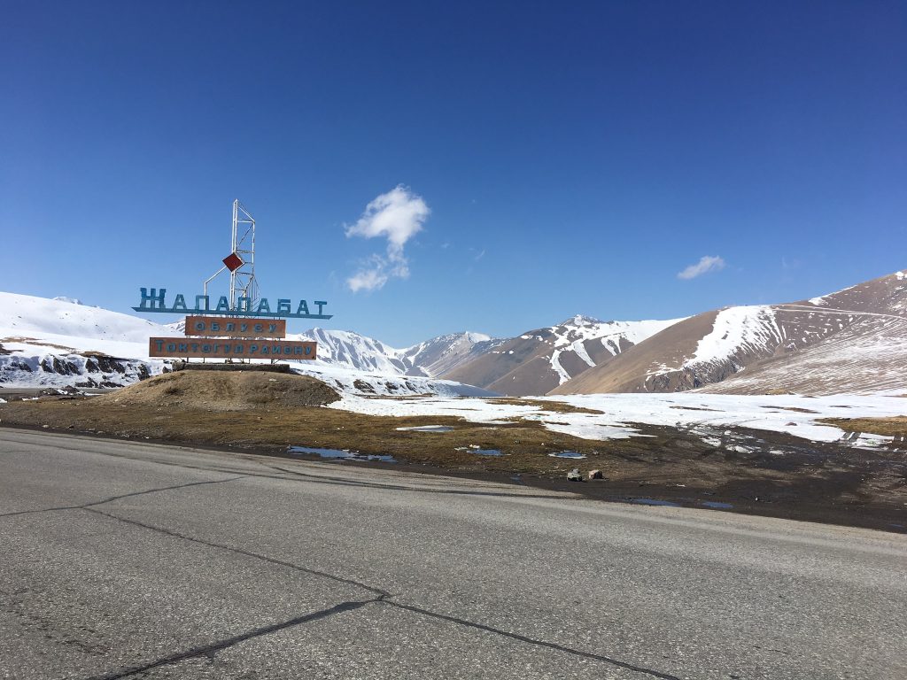
Among the different and many ways to reach Bishkek from Osh, the most direct route is taking the M41, through Jalal-Abad and Toktogul Lake.
Route Overview

The first 70km out of Osh, from the North/East side of the city, are on good quality asphalt. The road is a two ways highway going through many towns and markets. It is usually busy with lorries.

However, soon after that, the road hits the countryside and the first hills. There is a 4km climb at about 8% gradient, followed by a long descent. It will follow another hill of the same length and gradient, to then carry on a series of ups and downs through rolling hills.
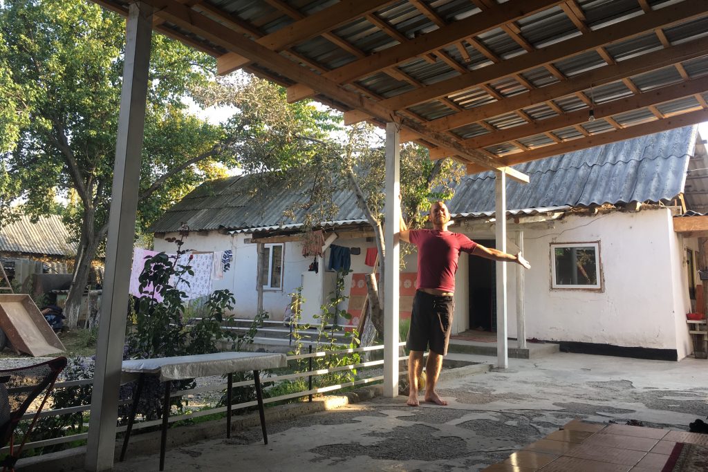
From Bazar Korgon is flat, although the quality of the road deteriorates into cracked asphalt and potholes. The next big town is Massy, 12km away, in which there are many banks and shops. The area is heavily populated. An alternation of sideroads houses and cotton fields makes it particularly challenging to find a quiet and hidden spot for camping. Locals are, however, very friendly and happy to let cyclists camp in their gardens. 10km after Moggy, the road quality gradually improves while it winds once again in open countryside on a series of extenuating steep ups and downs. Following the M41, the next big town is Tash-Komur. The main city is actually on the other side of the river, sitting in a valley. It has a hotel and a guesthouse. Staying on the main road, however, there is the chance of stocking up on food and drinks at the many small street shops, which sell bread, hot food, confectionaries, soft drink and alcohol. Continue for another 7.5 km where there is a marked camping spot on Maps.me. Next to it there is a tiny beach where you can even refresh yourself.
However, if you continue on the main road for another 500m there is a small guest house/yurt stay offering dinner and breakfast, on a nice spot just right on the river. It’s usually open during the summer months and closes mid-October.
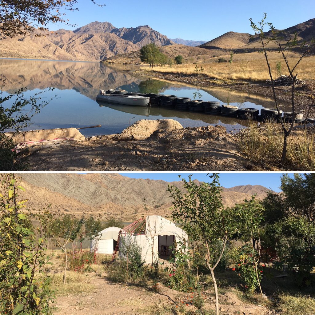
The following 5 km have also plenty of wild camping opportunities in a beautiful setting right on the lake.
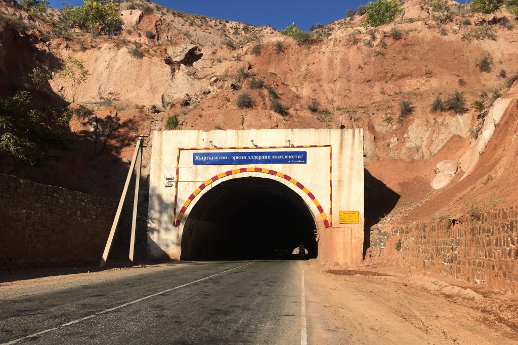
The roads keeps climbing and descending steeply. 30km after Tash-Komur there is the first of series of tunnels. While this particular one has lights and good ventilation, the following two have no lights, although they are only 300m long. There are several shops just before the entrance of the first tunnel, but none for the next 25km.
The town of Kara-Kol is 40km away from the first tunnel. However, bear in mind that the road quite tirelessly keeps following the undulating and steep curves of the mountain range it crosses. Although there is a sign indicating your arrival at Kara-Kol, a 5km climb will take you to the actual town, in which you can rest in a guesthouse or camp in a local’s garden.
Upon leaving Kara-Kol you slowly and gently climb for 30km towards Kok-Bel pass (1448m). The final 5km of the pass are steeper than the previous 25. A long descent leads right on the shore of Toktogul Reservoir, with stunning views of the mountains surrounding the lake. The road follows the lake for about 8/9km before climbing again into the hills. There is a motel just before that, if you need to stop. The setting is really beautiful and it costs 300som per person. No shower. After the motel, there are no shops for 20km, until you descend again to the lake.
A series of villages will populate the road until reaching the town of Togtokul. Kagan Guest House is a very good overnight pitstop. Very close to the bazaar, with washing machine and WiFi. They can also organise horse riding and trekking in the beautiful area of the lake.
From Togtokul, you slowly start climbing again towards Alabel Ashyusu pass (3148m). The whole ascent from Togtokul is about 66km long and, although gradual, it has some steep sections ranging between 8% and 12% gradient. The last 5km are particularly challenging.
After 17km of very gradual descent, there is a small settlement with some shops, restaurants and a guest house. The next village is about 40km from such settlement. There are a couple of hotels/motels, but the best – but not the cheapest – is Suuslodge, just by the gas station.
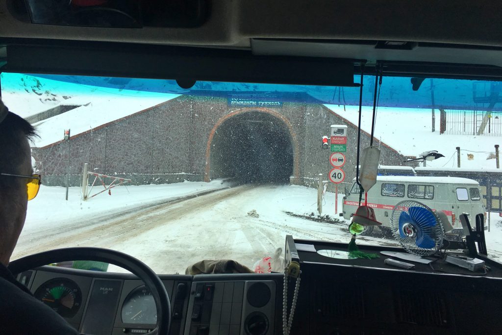
From Suuslodge, it’s 22km until the top of Too Ashuu pass (3586m). While the first 10km are flat/slow uphill, the remanent 12km are quite steep. At the top of the pass there is a 5km tunnel, which is NOT cycle-able, but truck drivers usually give lifts to cyclists for the whole length of the tunnel.
From the end of the tunnel, it’s a long descent of 73km to Kara-Balta, where you leave the M41 and take the M39 towards Bishkek. The descent is quite steep for the 15/20 km, to then become more gradual. From the town of Kara-Balta to Bishkek it is a 55/60km flat ride, going through many towns and heavy settlement. The traffic is once again hectic and there is no opportunity to wild camp.
In Bishkek there are many hostels and guest houses. Cyclists’ favorite choice is Friends Guest House, with basic rooms, shared bathrooms and a very pretty garden/outdoor space where to chill relax.
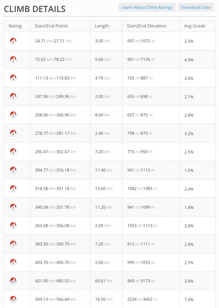
Climbs details
Thanks for this information, guys! It’s been helpful as we cycle the other way, from Bishkek to Osh. Two quick notes for anyone else who may be reading:
(1) We were able to cycle through the tunnel at Too Ashuu. It was really unpleasant, dark and potholed and really bad air for 2.6 kilometers, but no one said anything to us about not being allowed in. Later, though, people seemed surprised we were let through. So maybe no one is checking from the north-to-south side. In any event, hitching a ride is probably the better bet, but for the purists out there (we are definitely not purists), cycling MAY be an option.
(2) We actually ended up at Suuslodge after finding it (and your review) on Google Maps. Lodging was something like 1,500 som per person for an economy room, which was out of our budget, but we asked if we could camp in the field for 250 per person (500 som for the two of us) and use the amenities. The folks were really friendly and we spent a few days relaxing inside, drinking tea, showering, charging things, etc. A nice stop for anyone looking for a rest after (or before) tackling Too Ashuu.
Hope that’s useful to anyone. Happy trails!
Hello there! Thanks for sharing your experience, I am sure a lot of people will find these info useful! We know of some cyclists who did ride through the tunnel for some lack of surveillance but regretted doing so as they found it really dangerous. We are not the kind of purist cyclists either and easily found a hitch through 😀
Hi there. Thanks already for the very usefull info. We will cycle from Bisjkek to Osh in a few days, but are wondering if this main road has a lot of traffic on it. Can you share your thoughs about this?
If too much traffic, we might make a large detour along Kochkor and Kazarman…
Kind regards!
Hi Benjamin! The road has overall a minimal amount of traffic. The only very busy part is between Jalal-Abad and Osh (105km on single lane and lorries), which seems to be unavoidable even if you decide to go through Kochkor. With the Uzbek border and visa procedures being extremely lenghty, going West of Osh seems to be non feasable, leaving the Uzgen-Jalal-Abad road as the only option. I hope this helps! Safe rolling!
Thanks a lot for the useful information! I have just one simple question: how long did it take you to complete the ride from Osh to Bishkek? Thanks, Martijn and Mariëlle.
Hello Martjin, it took us roughly 10 days (excluding days off the bikes). That obviously may vary according to weather conditions and your level of fitness going uphill. We generally take it very leisurly 😉